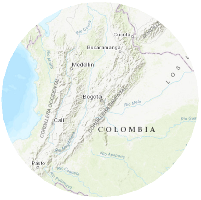
Description
Plano cartesiano, by the Geographical Institute Agustín Codazzi (IGAC), is a projection used for urban maps in Colombia. It is appropriate only for maps at very large scales. Use the height parameter to locally minimize ground-to-grid differences.
The IGAC plano cartesiano is available in ArcGIS Pro 1.0 and later and in ArcGIS Desktop 10.1 and later.

Projection properties
The subsections below describe the IGAC plano cartesiano projection properties.
Graticule
IGAC plano cartesiano is an azimuthal projection. The central meridian of the area always projects as a straight vertical line. Other meridians and parallels, including the equator, project as curved lines. The equator is shown as a straight line only when the projection is centered at 0° latitude.
Distortion
The IGAC plano cartesiano projection is neither conformal nor equal-area. It generally distorts shapes, areas, distances, directions, and angles.
Usage
The use of this projection is limited to very large-scale maps. It is used in Colombia for urban and city maps.
Limitations
The projection is limited to a small area around the center of the map. It is not advisable to use the projection at high latitude areas.
Parameters
IGAC plano cartesiano parameters are as follows:
- False Easting
- False Northing
- Longitude Of Center
- Latitude Of Center
- Height
Sources
Tipos de Coordenadas Manejados en Colombia (2004). Available online: https://www.igac.gov.co/sites/igac.gov.co/files/anexo_8._tipos_de_coordenadas_manejados_en_colombia_igac._ano_2004.pdf [accessed on 5 October 2018].
IOGP. Guidance Note 7-2: Coordinate Conversions and Transformations Including Formulas. Available online: https://www.iogp.org/wp-content/uploads/2019/09/373-07-02.pdf[Accessed June 1, 2020]