You can visualize terrain datasets through a terrain layer in ArcGIS Pro. A terrain layer and a TIN layer behave similarly, including having the ability to support multiple renderers. Both layer types can display the triangles symbolized by elevation range, slope, and aspect. Additionally, you can see the breaklines, triangle edges, and nodes or points in both layer types. In terms of differences, a terrain layer supports levels of detail (LOD) through building pyramid levels. By defining multiple scales of rendering, pyramids help speed up the display, particularly at small scales when a large volume of data is involved.
Terrain datasets display an area of interest at an optimized resolution. This means that if you have a small-scale area, fewer nodes or points will be utilized by the terrain to generate the TIN rendered on your screen. However, if you zoom in to an area at large scale, a full resolution (utilizing all the nodes or points for that area) will be used to generate a TIN on the fly. The obvious advantage is that only a small portion of the study area is being rendered in high detail, or a subsampled collection of nodes is used to generate a lower-resolution TIN on the fly. Thus, there is never an overwhelming amount of data to draw.
Change the symbology of a terrain dataset
Use the Symbology pane to change the symbology of a terrain dataset.
- Select a terrain dataset layer in the Contents pane.
- On the Terrain Dataset Layer tab set, in the Drawing group, click Symbology.
The Symbology pane appears. In the pane, you can modify the desired symbology for the terrain dataset layer selected in the Contents pane. You can also select another terrain dataset layer from the Contents pane and, without closing the Symbology pane, apply the same symbology to it.
Terrain dataset symbology renderers
| Terrain dataset renderer | Types of renderers | Example |
|---|---|---|
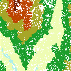
Points | Draw Terrain points using one of the following symbology renderers:
|
|
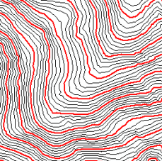
Lines | Draw Terrain dataset lines using one of the following symbology renderers:
|
|
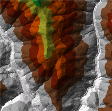
Surface | Draw Terrain dataset surfaces using one of the following symbology renderers:
|
|
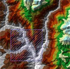
Dirty Area | When edits have been made to a terrain dataset, you can use the dirty area renderer to show where the edits have taken place and where the terrain dataset needs to be rebuilt. |
|


