| Label | Explanation | Data Type |
Point Data | The point data that will be processed. Supported inputs include LAS datasets, .las files, .zlas files, and ASCII files containing point records. One or more folders containing the files can also be specified as input. When a folder is included, the file suffix of the point files must be specified in the File Suffix parameter. | File; Folder |
Output Feature Class | The feature class that will be produced. | Feature Class |
File Format | Specifies the format of the input files.
| String |
File Suffix (Optional) | The suffix of the files that will be imported when a folder is specified in the input. | String |
Coordinate System (Optional) | The coordinate system of the input data. | Coordinate System |
Include Subfolders (Optional) |
Specifies whether data in subfolders will be used to generate results. The tool scans subfolders when an input folder is selected containing data in a subfolders directory. The output feature class will be generated with a row for each file found in the directory structure.
| Boolean |
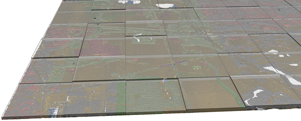
Extrude Geometry Shapes (Optional) | Specifies whether the output will be created as a 2D polygon or multipatch feature class with extruded features that reflect the elevation range found in each file.
| Boolean |
Decimal Separator (Optional) | The decimal character that will be used in the text file to differentiate the integer of a number from its fractional part.
| String |
Summarize by class code (Optional) |
Specifies whether the output will summarize .las files by class codes or by file. This parameter is only available for LAS format data, and it requires a complete scan of the each input file.
| Boolean |
Improve LAS files point spacing estimate
(Optional) | Specifies whether enhanced assessment of the point spacing in .las files, which can reduce over-estimation caused by irregular data distribution, will be used.
| Boolean |
Derived Output
| Label | Explanation | Data Type |
| Average Point Spacing | The average point spacing. | Double |
