Use the Highlight command  in the Gaps and Overlaps group on the Quality tab to find gaps and overlaps between parcels.
Gaps and overlaps are highlighted in the current map extent.
The Highlight command detects gaps and overlaps between parcels in the same parcel type. You can run the Highlight command on multiple, visible parcel types at the same time; however, the command does not detect gaps or overlaps between different parcel types.
Note:
The Highlight command does not detect and locate sliver parcels. Sliver parcels can be identified using the MUST BE LARGER THAN and MUST BE SMALLER THAN parcel polygon attribute rules.
Gaps
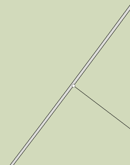
Gaps occur when adjacent parcel boundaries are not coincident and are separated from each other by a small distance.

Overlaps
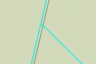
Overlaps occur when adjacent parcel boundaries are not coincident and the parcels overlap each other by a small area.

Highlight gaps, overlaps or both using a tolerance
To highlight gaps and overlaps in parcels in the map extent, follow these steps:
- Click the Highlight
 drop-down arrow on the Quality tab to open the Highlight Settings dialog box.
 The map should contain a parcel fabric and its associated layers.
- Specify a tolerance for Maximum Width. Gaps and overlaps that are wider than the specified tolerance will not be highlighted.
- Choose Highlight within each visible layer to highlight gaps and overlaps within in each visible parcel polygon layer in the map. Gaps and overlaps will not be detected between different parcel types.
- To only highlight gaps and overlaps in a single parcel polygon layer, leave Highlight within each visible layer unchecked and choose the parcel polygon layer from the Layer drop-down menu. Gaps and overlaps will only be highlighted in the chosen parcel polygon layer.
- Check or uncheck Show gaps or Show overlaps to only detect gaps or only detect overlaps.
- Optionally, set the colors that will be used to highlight gaps and overlaps.
- Click the Highlight command
 above the drop-down arrow.
 When the highlighting process completes, any gaps and overlaps detected are highlighted and visually noticeable in the map extent. A gray, dotted rectangular boundary is drawn around the map extent that was assessed. This map extent boundary is helpful to locate where gaps and overlaps were detected if the map view is panned or zoomed.
Note:
A large number of polygons in the map extent may result in long processing times.
- Click the Clear command
 to clear the highlighting and the map extent rectangle.
Fix gaps and overlaps
Gaps and overlaps between parcel polygons can be fixed using the following tools:
- Merge Points tool—If the gap or overlap resulted in duplicate points for the same parcel corner, use the Merge Points tool to merge the points and update the parcel geometries.
- Parcel alignment tools—Parcel boundaries can be aligned by creating alignment links between two points, between a point and a line edge, and between two line edges.

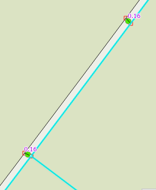
Alignment links have been added between a point and a line and between two line edges.
Tip:
To remove gaps or overlaps from slightly misaligned curves, use the Align Features tool to align curve edges using a traced path.