Available with Location Referencing license.
The following is a high-level overview of the user interface components that allow you to access and run ArcGIS Roads and Highways functionality.
ArcGIS Location Referencing tab
Roads and Highways provides editing tools in ArcGIS Pro that allow you to identify LRS measure locations and perform LRS-related editing operations. 
The Location Referencing tab allows you to perform the following route editing operations:
- Create routes.
- Extend routes.
- Retire routes or portions of routes.
- Reassign routes or portions of routes (also referred to as splitting or merging routes).
- Realign routes.
- Reverse the calibration of routes.
- Calibrate routes.
You can also perform the following editing operations for centerlines that make up routes:
- Split a centerline at a clicked location.
- Split a centerline at a measure location.
- Merge centerlines.
- Delete centerlines.
LRS geoprocessing tools
Roads and Highways includes a suite of Location Referencing toolbox geoprocessing tools that support LRS data loading, processing, and transformations.
Roads and Highways for linear referencing capability
Roads and Highways extends ArcGIS Server to enable map services with the linear referencing capability and allows you to do the following:
- Edit events in a multilayer transactional manner.
- Translate coordinates to measures.
- Translate measures to coordinates.
- Translate measures from one linear referencing method (LRM) to another.
ArcGIS Experience Builder
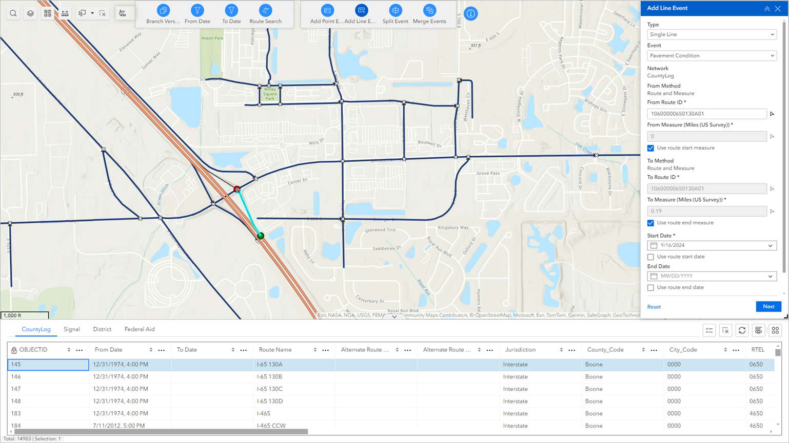
Experience Builder is a web app builder powered by ArcGIS Enterprise. It includes a suite of Location Referencing widgets that support the visualization, querying, and editing of LRS data.

Learn more about using Experience Builder and deploying Location Referencing widgets
Note:
You can also create new or edit existing events in ArcGIS Pro using any of the following tools and techniques: