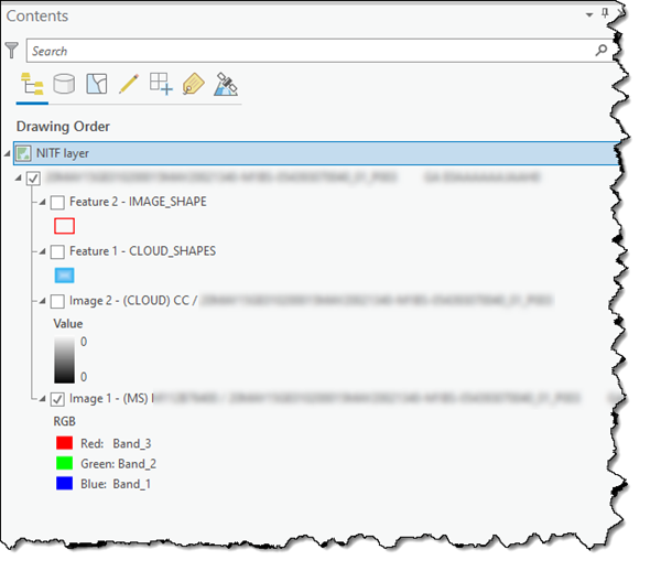
When you add a .nitf file to a map, ArcGIS Pro builds a structured NITF layer of the .nitf file contents in the Contents pane. This NITF layer provides an organized representation of the related data items in the .nitf file. Each data type is represented as a NITF sublayer, and each sublayer, such as an image sublayer, can be activated and managed separately.
By default, the NITF layer name is labeled using the value in the NITF FTITLE field. This can be up to 80 characters in length. If the FTITLE field is not available in the NITF layer, the label uses the .nitf file name.
Each image sublayer is labeled using the values in the ICAT, IID1, and IID2 fields. Each feature sublayer is labeled using the SHAPE_USE field in the Data Extension Segment (DES). All image and feature sublayers in the .nitf file are supported and listed in the Contents pane.
